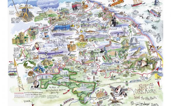
In 1887, John Bartholomew's Gazetteer of the British Isles described Helmsley like this:
Helmsley, town, par., and township, with ry. sta., on river Rye, North-Riding Yorkshire, 31½ miles N. of York - par., 40, 120 ac., pop. 3502; township, 8812 ac., pop. 1550; P.O., T.O., 2 Banks; many of the inhabitants are employed in the mfr. of linen; there are several important fairs held annually for sheep, horses, and cattle; the ruins of Helmsley Castle (12th century) stand on an eminence overlooking the town.
A Vision of Britain through Time includes a large library of local statistics for administrative units. For the best overall sense of how the area containing Helmsley has changed, please see our redistricted information for the modern district of Ryedale. More detailed statistical data are available under Units and statistics, which includes both administrative units covering Helmsley and units named after it.
How to reference this page:GB Historical GIS / University of Portsmouth, History of Helmsley, in Ryedale and North Riding | Map and description, A Vision of Britain through Time.
YOU MIGHT ALSO LIKE


